Aurania Resources
  • Corporate
    • Corporate Structure
    • Management & Board of Directors
    • Corporate Directory
    • Corporate Governance
    • Qualified Person
  • Exploration
    • Exploration Focus
    • Exploration Approach
    • 16th Century Spanish Gold Mines
      • Lost Cities Pre-History
      • Lost Cities History
      • Lost Cities Geology
    • Epithermal Gold
    • Sedimentary-Hosted Copper-Silver
    • Porphyry Copper
    • Silver-Zinc-Lead
    • Technical Reports
  • Community & Environment
    • Overview
    • Environment
      • Protected Areas
      • Biodiversity
      • Impacts, Risks and Opportunities
      • Drill Sites and the Environment
      • Indigenous Plant Nursery
      • Drill Camp Waste Management
      • Waste Management in Fly Camps
    • Community Engagement
    • Water Management
    • Health and Safety
    • Governance
    • COVID-19 Action
    • ISO Certification
  • Sustainability
    • President’s Message on Sustainability
    • Sustainability Report
    • Emission Reduction Goals
    • People and Communities
  • Investors
    • Investor Dashboard
    • Ecuador’s Action Plan for the Mining Sector
    • Press Releases
    • Aurania in the Media
    • Regulatory Reports
    • Annual General Meeting
    • Events
    • Conference Call Archive
    • Corporate Presentation
    • Photo Gallery
    • Videos
  • Contact
  • Menu Menu
  • LinkedIn
  • Youtube
  • Twitter
  • Facebook

Mobile MT – Providing Visibility in the Third Dimension

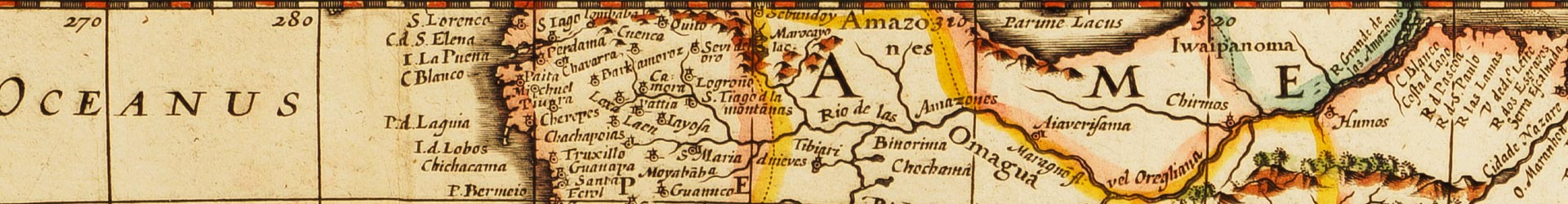
Aurania’s MobileMT surveys in Ecuador aim to detect rocks that conduct electricity due to their high sulphide content as this could show where a mineral deposit is located. Conversely, rocks that are poor conductors, possibly due to silica flooding, are commonly associated with epithermal deposits.

MobileMT relies on the fact that lightning creates electromagnetic energy fields that propagate around the world as plane waves, bouncing between the ground and Earth’s ionosphere.

The energy fields induce electrical currents into the rocks below surface, and the extent to which this current is conducted can be measured by sensitive copper coils flown above the forest canopy.

After processing the data, our technical teams are able to build a very detailed three dimensional conductivity map of the earth down to a depth of approximately 1 to 2 kilometers below surface, depending on the given objective in a particular area.

The MobileMT system measures not only electrical data, but also magnetic data.

Latest Videos

  • Company UpdateJune 14, 2024 - 8:05 am
  • Social Initiatives in the CutucuJuly 12, 2023 - 2:06 pm
  • PDAC 2022 Presentation at the Royal York HotelJune 16, 2022 - 3:00 pm
  • Interview with Professor Gregor Borg – Part 3January 26, 2022 - 10:08 am

Latest Press Releases

  • Aurania Completes Payment of Mineral Concession FeesMay 9, 2025 - 5:07 pm
  • Aurania Closes Private Placement with Total Gross Proceeds of C$1.72MMay 5, 2025 - 5:14 pm
Aurania Resources Small Logo

Aurania Resources Ltd.
8 King St. E, Suite 1800
Toronto, ON
Canada
M5C 1B5

Phone: (416) 367-3200

Quick Links

  • Home
  • Investor Dashboard
  • 16th Century Spanish Gold Mines
  • Contact

News Signup

Get Aurania's latest press releases, news, and important company updates delivered by email direct to your inbox.

* indicates required
© Copyright - Aurania Resources Ltd.
  • LinkedIn
  • Youtube
  • Twitter
  • Facebook
  • Home
  • Investor Dashboard
  • Press Releases
  • Legal
  • Contact
Scroll to top